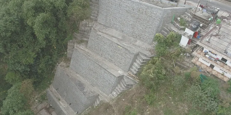
Across Memphis, we consistently encounter sites where the interaction between loess deposits and underlying terrace gravels controls long-term slope behavior. The bluffs along the Mississippi River and the headward erosion of tributary creeks create cut slopes that look stable during dry summers but can unravel quickly after a wet winter. Many projects come to us after a preliminary geotech report flags a slope concern, and that is where a rigorous slope stability analysis becomes the backbone of the design. We combine subsurface data from Shelby County borings with laboratory shear strength testing to build models that reflect the actual stratigraphy, not idealized textbook profiles. Whether the project involves a retaining structure setback, a roadway widening, or a residential lot perched above a creek, the analysis must account for the perched water tables that develop at the loess-gravel interface, a condition we see repeatedly from Germantown to the Wolf River bottoms.
Memphis loess stands near-vertical when dry, but pore pressure buildup at the loess-gravel interface is what triggers most local slope failures we investigate.