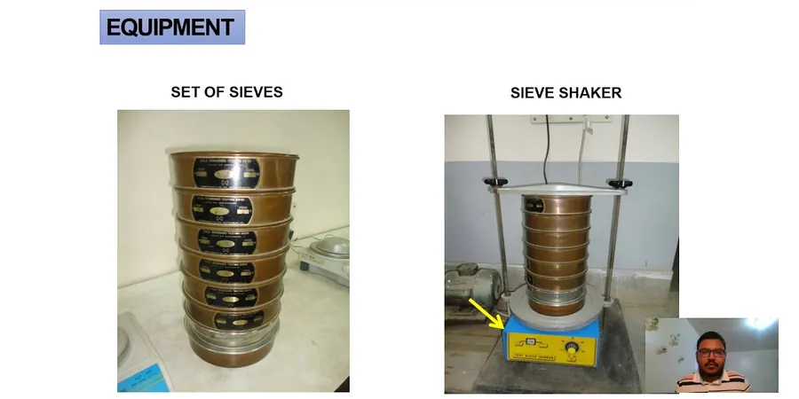
Memphis sits atop a deep blanket of Mississippi River alluvium and loess deposits that can confound even the most experienced site superintendent. The city’s subsurface shifts from sandy channel fills near Wolf River Harbor to fat clay terraces in East Memphis within a single mile, and this variability demands precise particle-size data before any foundation decision is locked in. Our grain size analysis pairs mechanical sieve separation for the coarse fraction with a hydrometer sedimentation series for fines passing the No. 200 sieve, producing a continuous gradation curve that feeds directly into USCS classification and permeability estimates. For deeper borings in the Jackson Formation clays that underlie the alluvium, we often calibrate the hydrometer data against Atterberg limits to confirm plasticity correlations, and when the project involves bridge piers or floodwall footings we recommend supplementing the analysis with in-situ permeability testing to validate drainage assumptions under seasonal high-water conditions.
A complete grain-size curve from 75 mm cobbles down to 1 µm colloids is the single most cost-effective data point for predicting drainage, compaction, and frost susceptibility in Memphis’s layered alluvium.